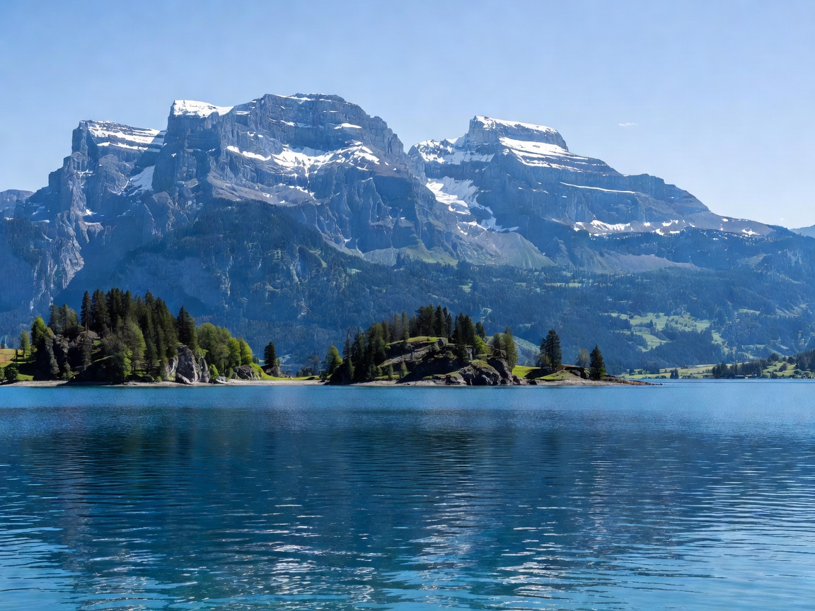
Glacial Architecture & Complex Basins
Lake Lucerne (known in German as Vierwaldstättersee, meaning "Lake of the Four Forest Cantons") features the most intricate shoreline geometry of any major European alpine lake. Formed during the Reuss Glacier's retreat, the lake is divided into four distinct geological basins—the Lucerne basin, Küssnacht arm, Alpnach basin, and the sheer fjord-like Uri basin (Urnersee)—encompassing a surface area of 114 square kilometers and descending to a maximum depth of 214 meters (702 ft).
Microclimatic Subtropical Pockets
Due to the sheltering effect of the surrounding 2,000-meter peaks and warm Föhn winds funneling through the Reuss Valley, parts of Lake Lucerne (such as the Weggis and Gersau rivieras) maintain microclimates warm enough to support sweet chestnuts, fig trees, and palm groves alongside subalpine flora.
Premier Shoreline & Ridge Trails
Lake Lucerne offers world-class wilderness treks connecting old-growth forest reserves with towering limestone cliffs:
1. The Swiss Path (Weg der Schweiz)
A protected 35-kilometer natural footpath winding around the southern Uri fjord basin between the historic Rütli meadow, Flüelen, and Brunnen. The trail cuts through virgin beech-fir forests, traverses cliffside stone galleries above the deep turquoise water, and ascends to panoramic vantage points over the high Uri Alps.
2. The Bürgenstock Cliff Path & Hammetschwand
Carved into vertical limestone cliffs 500 meters above the lake, the Bürgenstock Felsenweg offers staggering aerial views down into the glass-like water. The path connects with the historic Hammetschwand Lift, Europe's highest open-air cliff elevator.
Sustainable Navigation: Historic Paddle Steamer Fleet
The Lake Lucerne Navigation Company (SGV) operates the world's largest fleet of active vintage paddle steamers (dating between 1901 and 1928), offering an environmentally certified, slow-travel transit corridor between alpine trailheads without automobile emissions.