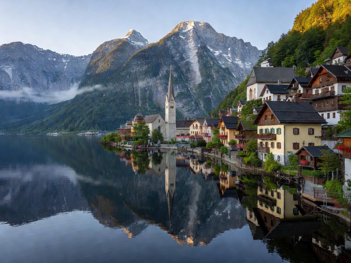
Hydrological Character & Fjord Topography
Hallstätter See is one of Austria's deepest and most visually dramatic subalpine bodies of water. Carved by the Traun Glacier during multiple Pleistocene glaciations, this 8.55-square-kilometer basin reaches a maximum depth of 125 meters (410 ft). Wedged tightly between the sheer limestone slopes of the Plassen (1,953m) and the massive Dachstein glacier massif (2,995m), the lake behaves ecologically like a high-latitude Norwegian fjord.
Grade A1 Glacial Purity
The waters of Hallstätter See are rated Grade A1 for microbiological purity, fed continually by the crystal-clear Traun River and subterranean karst springs draining from high Dachstein icefields.
Off-the-Beaten-Path Nature Corridors
While the historic lakeside village attracts high architectural interest, the pristine natural wilderness is found along the southern and western mountain valleys:
1. The Echerntal Valley & Waldbachstrub Waterfall
Beginning at the western end of Hallstatt, this secluded glacier-carved valley leads past ancient glacier gardens (Gletschergarten) formed by swirling vortex meltwaters 12,000 years ago. The trail culminates at the dramatic 90-meter triple cascade of the Waldbachstrub Waterfall, framed by virgin mountain beech and spruce trees.
2. The Eastern Fjord Shore Trail (Ostuferwanderweg)
A tranquil 10-kilometer wilderness path hugging the undeveloped eastern shoreline between Steeg-Gosau and Obertraun. The trail features suspension walkways anchored directly above the deep dark water with uninterrupted views of the Plassen peak reflections across the lake.
Sustainable Water Navigation: Traditional "Zillen"
For centuries, transport on Hallstätter See relied exclusively on wooden flat-bottomed boats called Fuhrgondeln or Zillen. Today, unmotorized kayaking, silent electric rental skiffs, and the historic wooden ferry linking Hallstatt Railway Station with the market dock offer zero-emission navigation across the glassy morning water.